An Hảo
Appearance
An Hảo | |
|---|---|
Rural commune and village | |
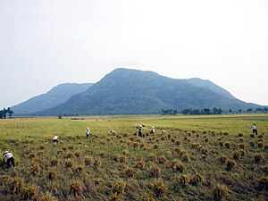
 View of Núi Cấm | |
 | |
| Country | |
| Province | An Giang |
| District | Tịnh Biên |
| Time zone | UTC+07:00 (Indochina Time) |
An Hảo is a rural commune (xã) and village of the Tịnh Biên District of An Giang Province, Vietnam. Núi Cấm (the forbidden mountain), also known as Thiên Cấm Sơn is a famous mountain in An Hảo commune.[1]
References
[edit]10°28′15″N 105°02′40″E / 10.47083°N 105.04444°E

